The
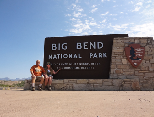
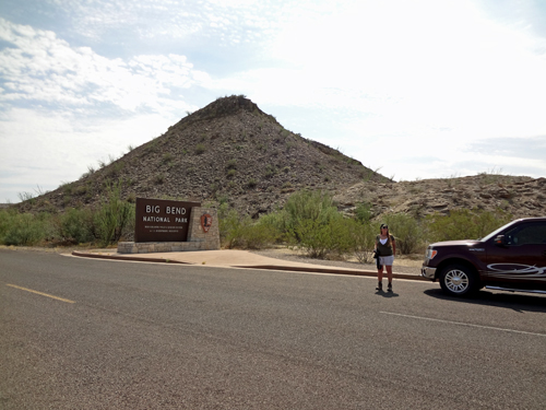
Two RV Gypsies: Full-Time RVers at Big Bend National Park Highway 385 in Texas October 10-11, 2012 |
|
  |
|
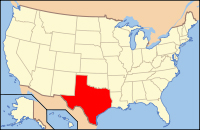
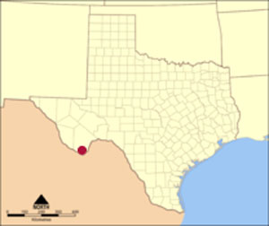
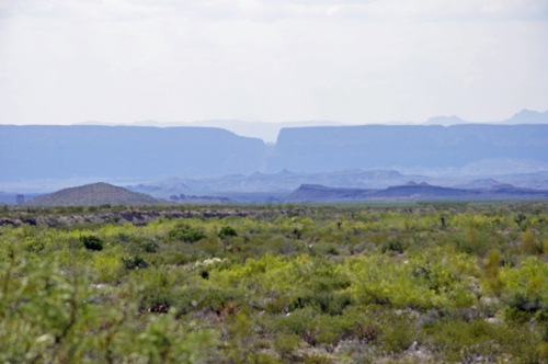
Big Bend National Park is in the southern part of the U.S. state of Texas. Big Bend has national significance as the largest protected area of Chihuahuan Desert topography and ecology in the United States, which includes more than 1,200 species of plants, more than 450 species of birds, 56 species of reptiles, and 75 species of mammals.The park covers 801,163 acres (1,252 square miles). It is larger than the state of Rhode Island.For more than 1,000 miles, the Rio Grande River forms the international boundary between Mexico and the United States, and Big Bend National Park administers approximately 244 miles along that boundary. The park was named after the area, which is bounded by a large bend in the Texas-Mexico border.Because the Rio Grande serves as an international boundary, the park faces unusual constraints while administering and enforcing park rules, regulations, and policies. In accordance with the Treaty of Guadalupe Hidalgo, the park's territory extends only to the center of the deepest river channel as the river flowed in 1848. The rest of the land south of that channel, and the river, lies within Mexican territory. |
|
 |
 |
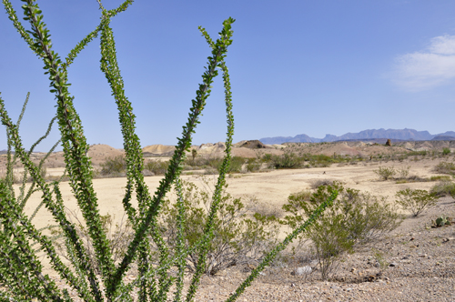
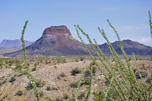
Below: Ocotillo with a portion of the Sierra del Carmen Mountain Range in the background. Karen Duquette says the Ocotillo reminds her of a plant that should be in the ocean or an aquarium. |
|
 |
 |
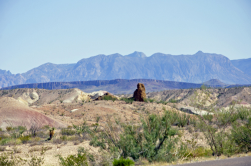
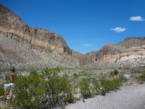
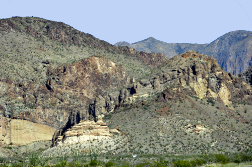
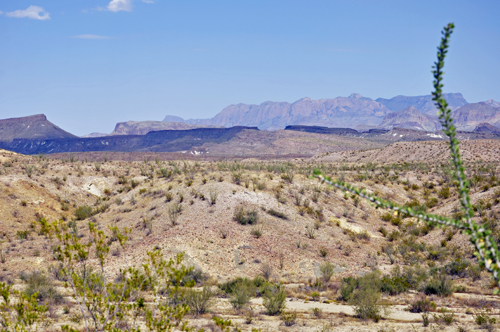
Below: Across the street from the Big Bend National Park sign, the two RV Gypsies saw badland scenery that demanded to be photographed. |
|
 |
 |
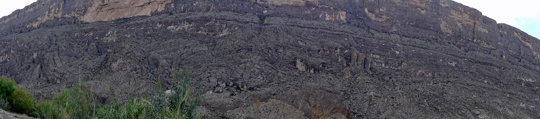
Below: BADLANDS: A thin layer of gravel rests on colorful layers of slippery bentonite clay. Because bentonite swells when wet, exposed badlands slopes tend to slump away along fracture lines, collapsing the canyon back toward its rims. Notice the mounds of slump material at the base of the painted hills.The dry stream bed in the canyon floor is more typical of desert erosion. After sudden storms in the mountains, flash floods roar down the channel, carving the canyon deeper and deeper. |
|
 |
|
 |
 |
 |
 |
 |
|
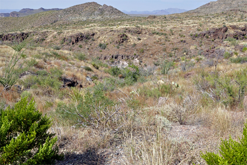
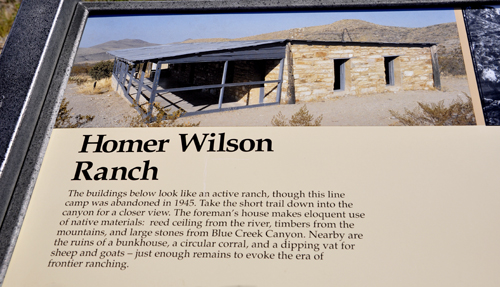
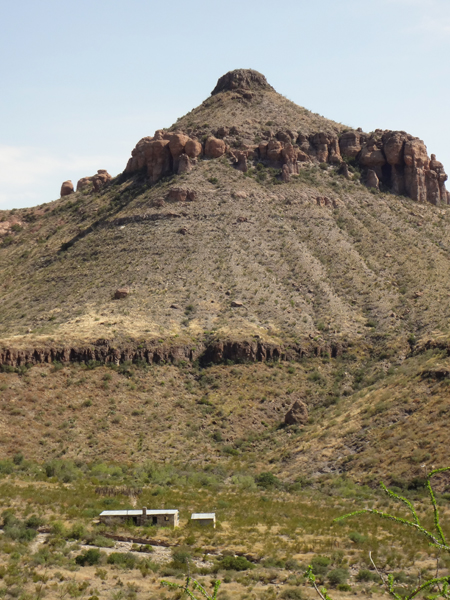
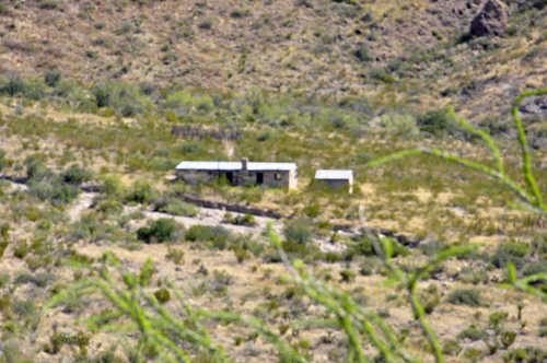
Below: Homer Wilson Ranch |
|
|
|
 |
 |
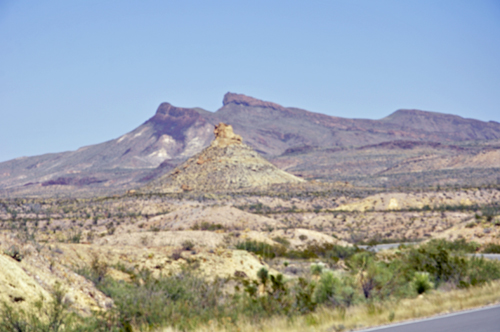
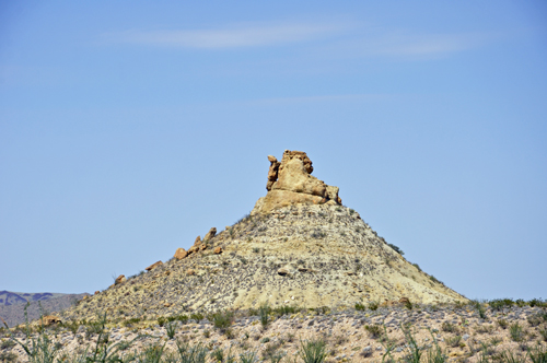
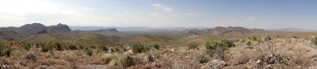
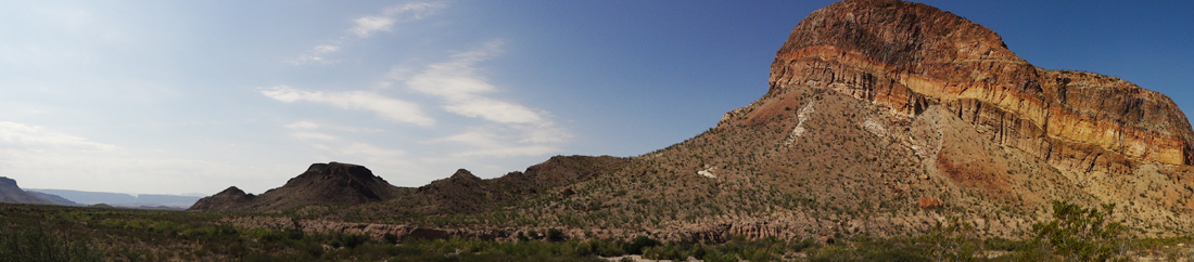
In the photo below, the remains of the Homer Wilson Ranch can be seen below the majestic mountain. As the two RV Gypsies continued throughout Big Bend National Park, they photographed this same mountain from different angles, but the ranch could only seen from this angle. |
|
 |
 |
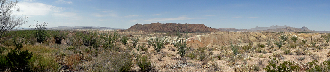
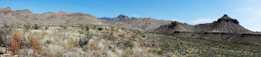
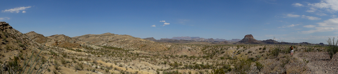
Below: A panorama of the mountain and surrounding area, (the glimpse of white under the mountain is the ranch) |
|
 |
|
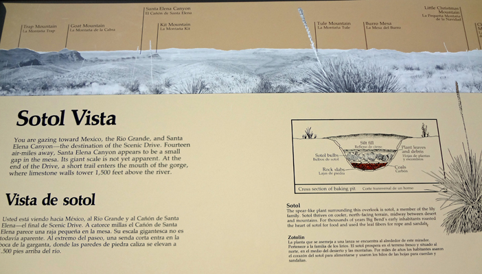
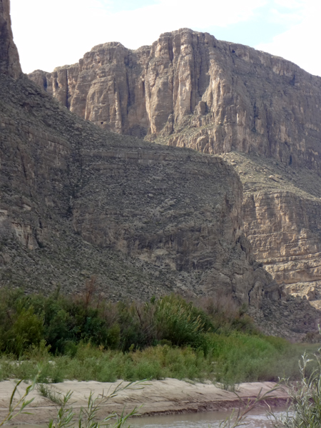
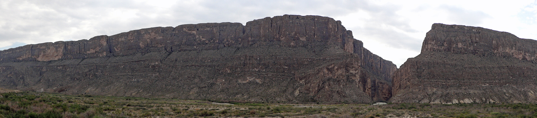
Sotol Vista - the photos below are gazing toward Mexico, the Rio Grande, and Santa Elena Canyon--the destination of the Scenic Drive. Fourteen air miles away, Santa Elena Canyon appears to be a small gap in the mesa. Its giant scale is not yet apparent (but close-up photos will be revealed later on this page). At the end of the drive, a short trail enters the mouth of the gorge, where limestone walls tower 1,500 feet above the river. |
|
 |
|
 |
|
 |
|
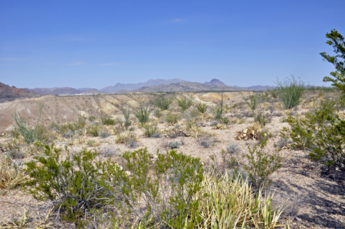
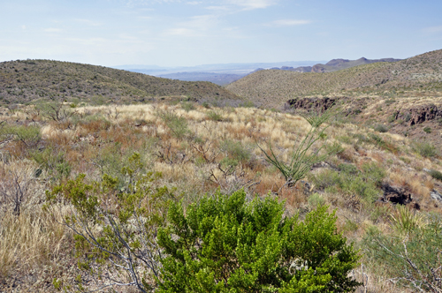
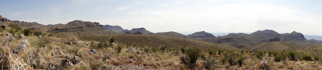
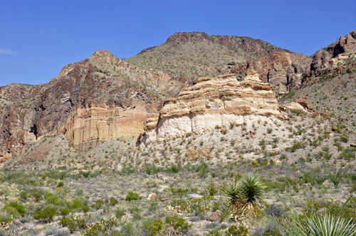
Below; Two more views of the mountain by the ranch introduced above, taken from different lookouts in the park. |
|
 |
 |
The two RV Gypsies continued to drive the Scenic Drive in Big Bend National Park and Karen Duquette took photos of everything mentioned in the poster above. |
|
Below: Burro Mesa Pouroff |
|
 |
|
 |
 |
 |
 |
 |
|
 |
 |
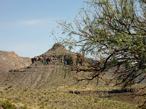
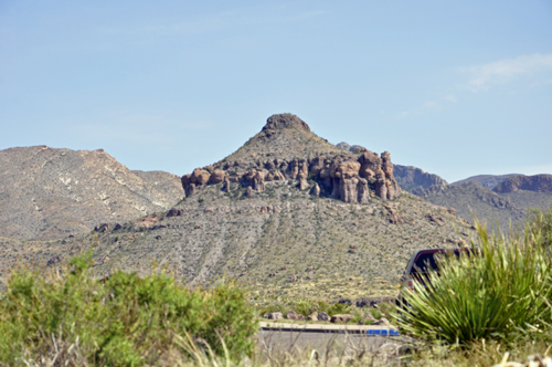
Below: Scenic Drive Overlook |
|
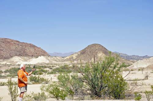
The vast distances viewed through the clear skies of Big Bend have long been one of the defining qualities of this unique desert land. The scope of the landscape is overwhelming. For example, Emory Peak, a vertical mile higher from where the two RV Gypsies stood to take the below photos, is 16 miles away. In recent years, visibility in the Big Bend region has declined dramatically as air pollution from developed areas far beyond the park's boundaries invades even this remote place. |
|
 |
|
 |
 |
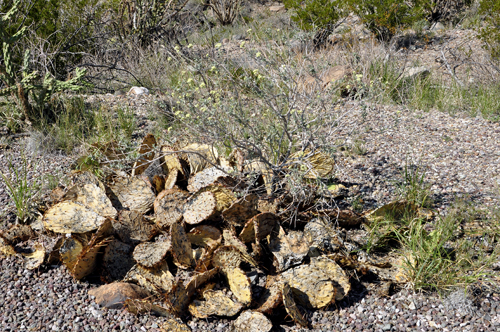
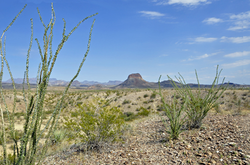
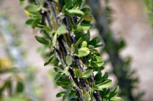
Below: Ocotillo is seen everywhere in Big Bend. It has soft leaves and sharp thorns. |
|
 |
 |
|
|
 |
|
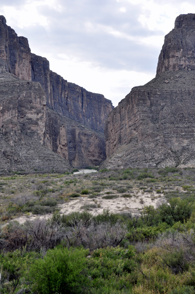
Below; As Lee Duquette walked the trail back to the car, the gap in the Santa Elena Canyon could be seen, although it was still a good distance away. |
|
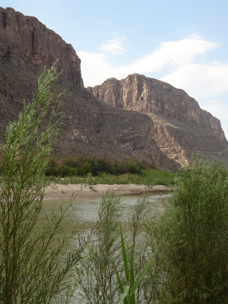
Below: As the two RV Gypsies got back in their truck and continued to drive the scenic road, the gap in the Santa Elena Canyon kept appearing. |
|
 |
|
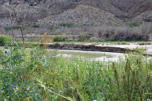
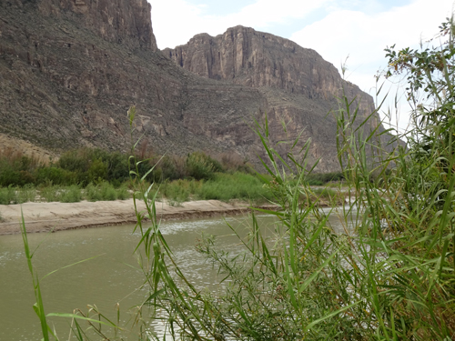
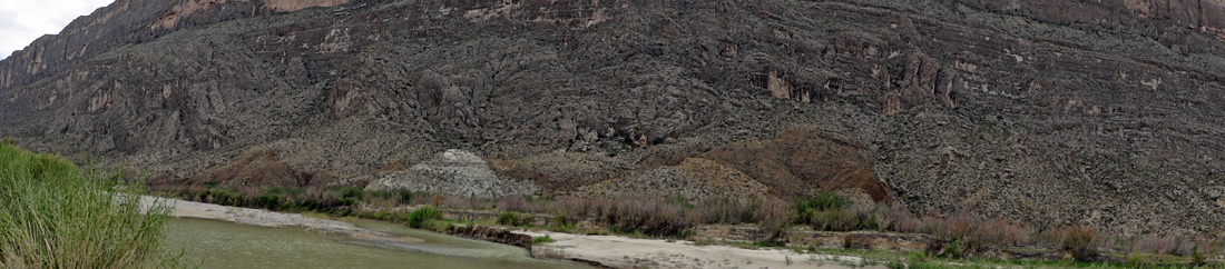
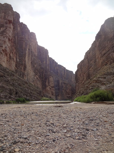
Below: Santa Elena Canyon and the Rio Grande River that divides the USA from Mexico: |
|
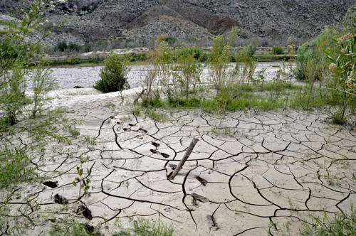
The two RV Gypsies walked a short path trying to see the Rio Grande River, but the path led to an area of soft, cracked mud, so the two RV Gypsies made their way back to the parking lot, and walked down the boat ramp to see the Rio Grande. |
|
 |
|
 |
 |
 |
|
 |
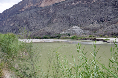 |
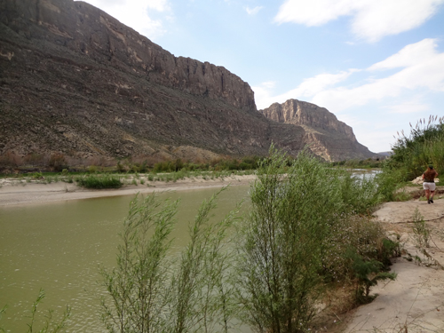
Below; From the boat ramp, the two RV Gypsies were able to look down the Rio Grande River, and they saw the gap in the Santa Elena Canyon once again. They were constantly getting closer to the gap. |
|
 |
 |
 |
|
Below: Karen Duquette zoomed the camera in to get a different view of the gap in the Santa Elena Canyon |
|
 |
 |
 |
 |
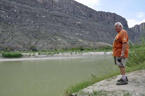
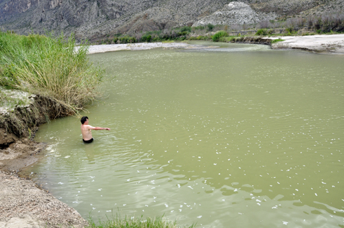
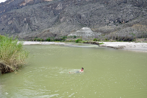
The man (in the photo below) said he was staying in the campground here at Big Bend, and there were not any showers, so he decided to bathe here. If he were to exit the water on the Mexico side, he could be arrested. He could actually be detained and questioned just for being in the water here. |
|
 |
 |
 |
|
 |
|
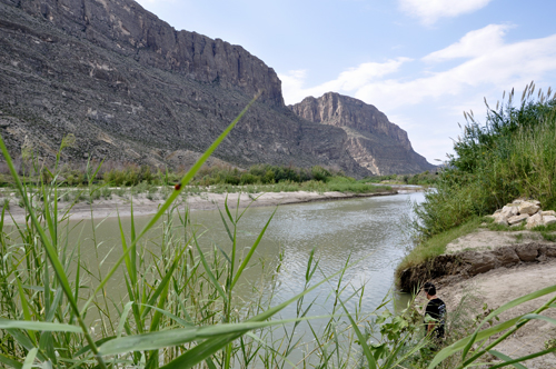
Below: The two RV Gypsies finally arrived at the gap in the Santa Elena Canyon |
|
 |
|
Except during flood season, the quiet waters below do not seem powerful enough to have carved Santa Elena Canyon. But the water is cloudy with sand and silt. Like liquid sandpaper, the swift current files away at Santa Elena's hard limestone, cutting it deeper. In a raft or canoe, the grit hissing along the hull can actually be heard. The view at river level gives no clue to the extent of canyon carving. |
|
 |
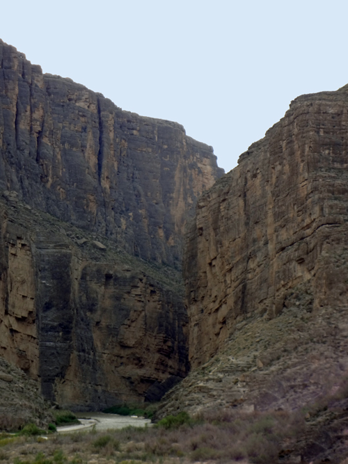 |
Santa Elena Canyon is 8 miles long and 1,500 feet deep. In some places the canyon is only 30 feet wide at the bottom. |
|
 |
|
Going on to the next area required the two RV Gypsies to drive down a curvy road with a 10% grade. |
|
 The
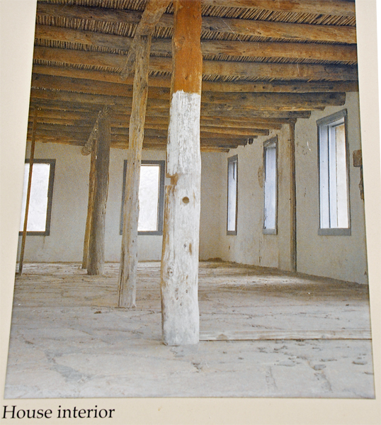
Homer Wilson Ranch, also known as the Blue Creek Ranch, was one of the
largest ranches in the early twentieth century in what would become
Big Bend National Park in the U.S. state of Texas. The ranch was established
by Homer Wilson in 1929 at Oak Springs to the west of the Chisos Mountains.
Ultimately comprising 44 sections of land, amounting to more than 28,000
acres, the Oak Canyon-Blue Creek Ranch was acquired by the State of
Texas in 1942 for incorporation into the new park. A large portion of
the ranch comprised portions of the old G4 Ranch (named after Survey
Block G4), established by John and Clarence Gano in the 1880s. Wilson's
ranch focused on sheep and goats, the first such large operation in
the Big Bend area. Wilson continued to live at the ranch until his death
in 1943; his family moved from the ranch the next year. Wilson, born
in Del Rio, Texas in 1892, had studied petroleum engineering at the
Missouri School of Mines and was a World War I veteran. The ranch, with
the headquarters at Oak Springs and its operational center at Blue Creek,
was one of the largest in Texas, and the most significant ranch in Big
Bend.
The
Homer Wilson Ranch, also known as the Blue Creek Ranch, was one of the
largest ranches in the early twentieth century in what would become
Big Bend National Park in the U.S. state of Texas. The ranch was established
by Homer Wilson in 1929 at Oak Springs to the west of the Chisos Mountains.
Ultimately comprising 44 sections of land, amounting to more than 28,000
acres, the Oak Canyon-Blue Creek Ranch was acquired by the State of
Texas in 1942 for incorporation into the new park. A large portion of
the ranch comprised portions of the old G4 Ranch (named after Survey
Block G4), established by John and Clarence Gano in the 1880s. Wilson's
ranch focused on sheep and goats, the first such large operation in
the Big Bend area. Wilson continued to live at the ranch until his death
in 1943; his family moved from the ranch the next year. Wilson, born
in Del Rio, Texas in 1892, had studied petroleum engineering at the
Missouri School of Mines and was a World War I veteran. The ranch, with
the headquarters at Oak Springs and its operational center at Blue Creek,
was one of the largest in Texas, and the most significant ranch in Big
Bend. Karen
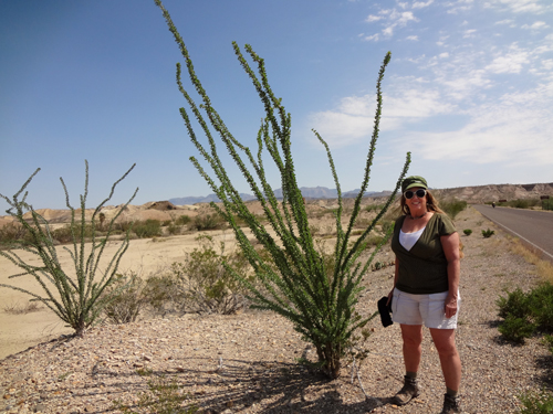
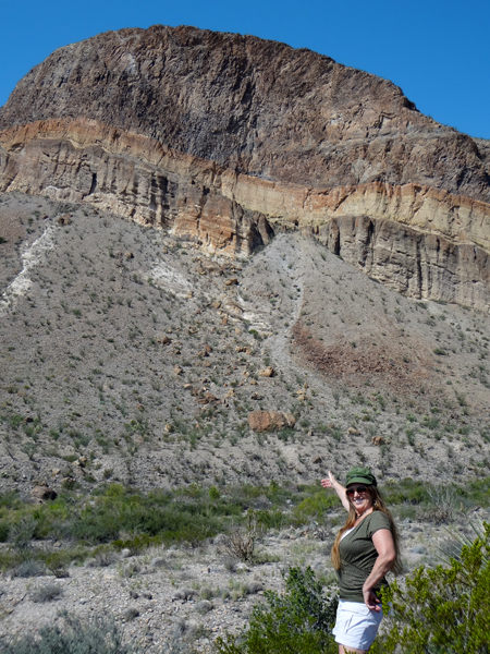
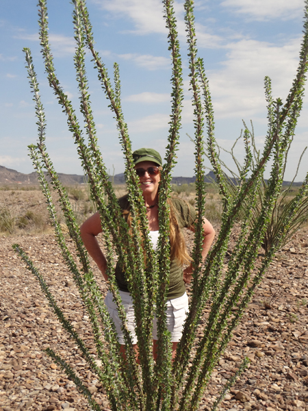
Duquette tried to blend in with the Ocotillo.
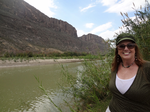
Karen
Duquette tried to blend in with the Ocotillo.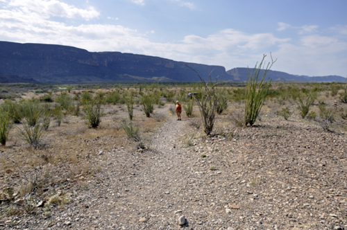
 |
|
 Please