at Mesa Verde National Park
in Colorado
September 3, 2012
|
|
The
Two RV Gypsies: Full-Time RVers at Mesa Verde National Park in Colorado September 3, 2012 |
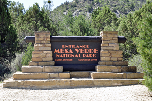
MESA VERDE NATIONAL PARK |
|
|
|
 |
|
Mesa Verde National Park is an American national park and UNESCO World Heritage Site located in Montezuma County, Colorado. The park protects some of the best-preserved Ancestral Puebloan ancestral sites in the United States.Established by Congress and President Theodore Roosevelt in 1906, the park occupies 52,485 acres near the Four Corners region of the American Southwest. With more than 5,000 sites, including 600 cliff dwellings. It is the largest archaeological preserve in the United States. Mesa Verde (Spanish for "green table", or more specifically "green table mountain") is best known for structures such as Cliff Palace, one of the largest cliff dwellings in North America. |
|
 |
|
 |
|
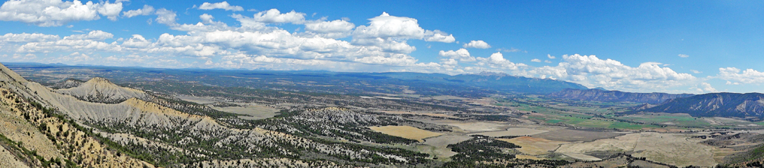
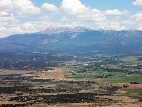
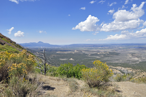
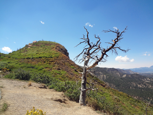
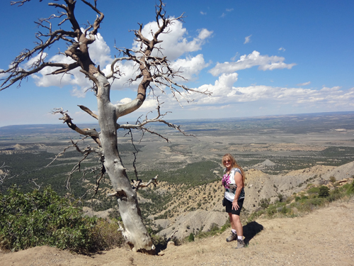
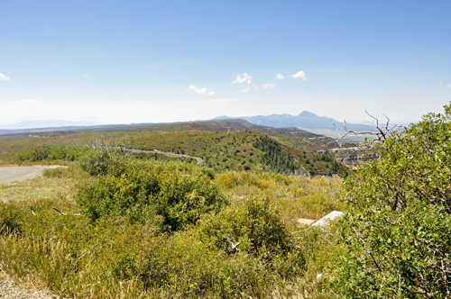
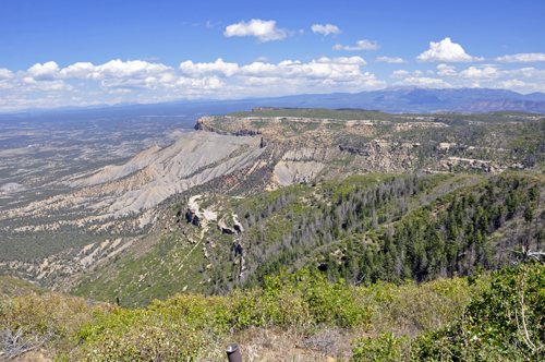
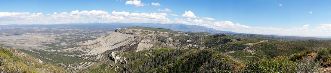
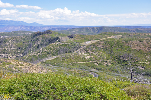
Below: Mancos Valley Overlook at Mesa Verde National Park |
|
The town of Mancos in the valley shown
in the photos below, historically served as the |
|
 |
|
 |
 |
 |
 |
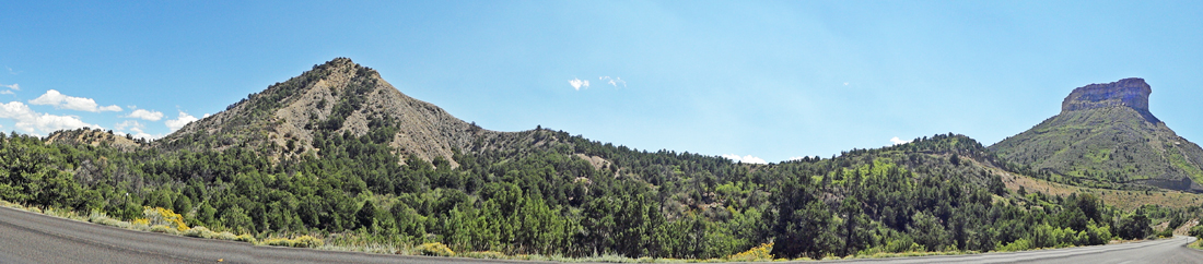
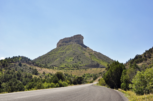
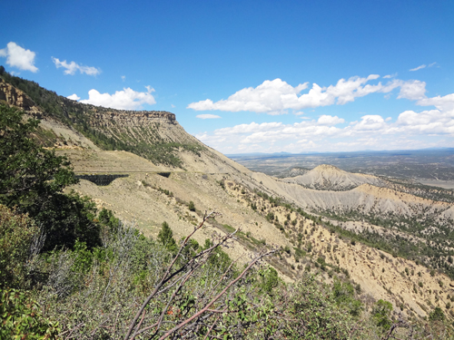
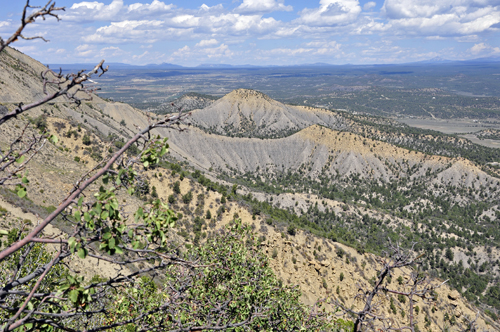
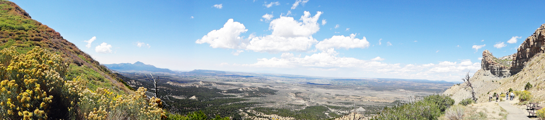
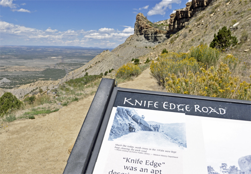
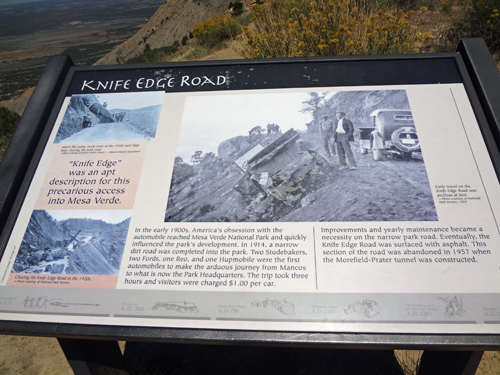
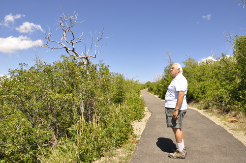
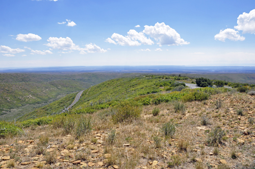
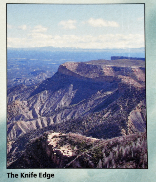
Below: Knife Edge Overlook at Mesa Verde National Park - an apt description for this precarious access into Mesa Verde. On the date that the two RV Gypsies were here the trail was only open to the point shown in the photos below, so the two RV Gypsies could not get far enough down the trail to see The Knife Poin - however, The Knife Point was viewable from Park Point. (Keep scrolling down this page for those photos). |
|
 |
|
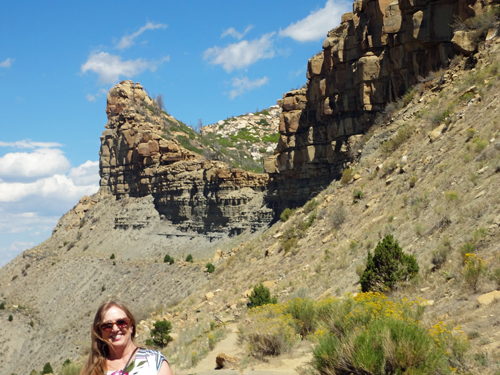
Below: Karen Duquette at the beginning of Knife Edge Road - but the trail itself was closed at that time. |
|
 |
 |
 |
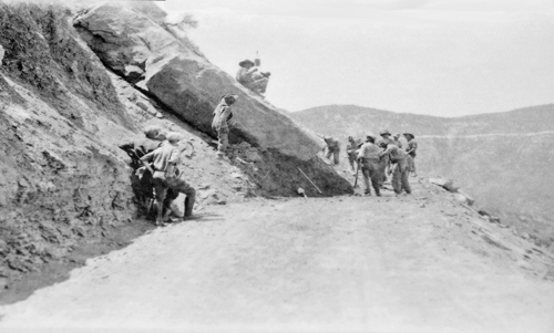
Much like today, work crews in the 1930's |
 |
|
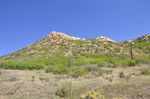
Below: Scenery from Knife Edge Road - the famous Knife Edge Cliff could not be seen from here due to the trail being closed, but it was seen from Park Point later on in Mesa Verde National Park. |
|
 |
 |
 |
 |
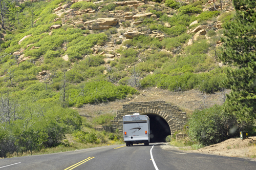
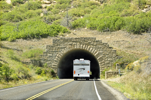
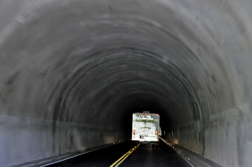
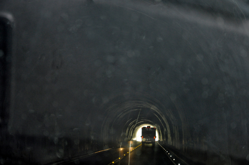
Below: The Morefield-Prater Tunnel - constructed in 1957 |
|
 |
 |
 |
 |
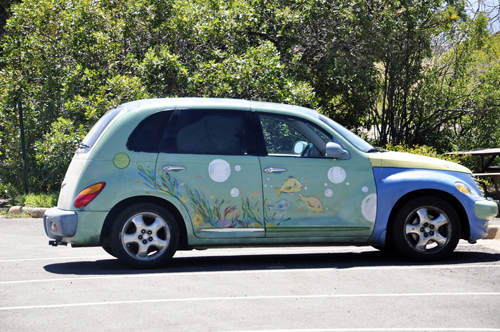
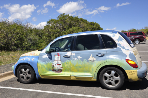
Below: A very uniquely painted car in the parking lot at Park Point Overlook. |
|
 |
 |
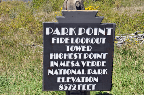
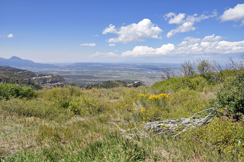
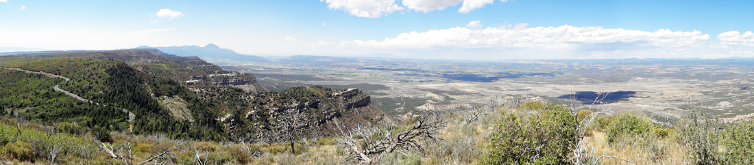
Below: Park Point Overlook sign and the view behind the sign of the valley. |
|
 |
 |
 |
|
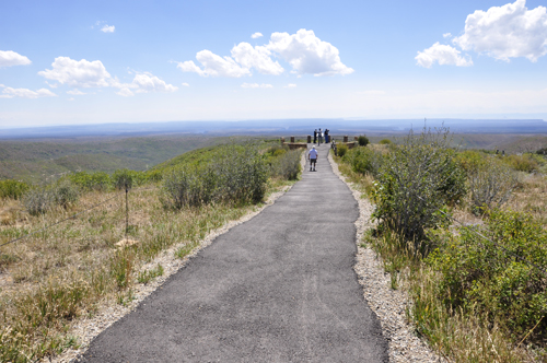
Below: All of the lookout points at Park Point were short, easy trails. |
|
 |
|
 |
 |
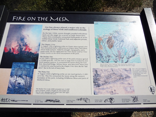
Below: Perched upon the highest elevation within Mesa Verde, the historic Park Point Fire Lookout is used to locate wildfires. With visibility of up to 100 miles, the lookout serves federal, state, and local government agencies, as well as private landowners.In earlier years, the lookout was staffed round the clock during fire season. Spotters lived, ate, and slept in a one-room building. Today, the lookout is staffed only during high fire danger periods; May through September. The legacy of Park Point fire spotters has continued for over 70 years. |
|
 |
|
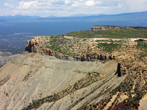
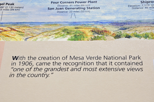
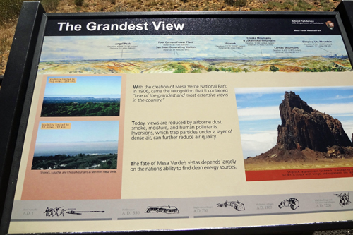
Below: Remember the first overlook shown on this page with the closed trail? Here at Park Point is a poster and some photos taken by the two RV Gypsies showing The Knife Edge that could not be reached from the Knife Edge Trail. |
|
POSTER |
|
Below: The two RV Gypsies took photos of The Knife Edge from various places at Park Point. |
|
 |
 |
 |
|
Below: The trail at Park Point continued for more wonderful scenery at Mesa Verde National Park. |
|
 |
|
 |
|
 |
 |
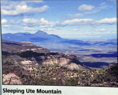
Below: Sleeping Ute Mountain at Mesa Verde National Park |
|
 |
|
(Below: photo of the sign) and a photo taken by Karen Duquette of Sleeping Ute Mountain. |
|
 |
t 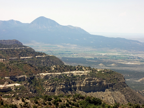 |
 |
|
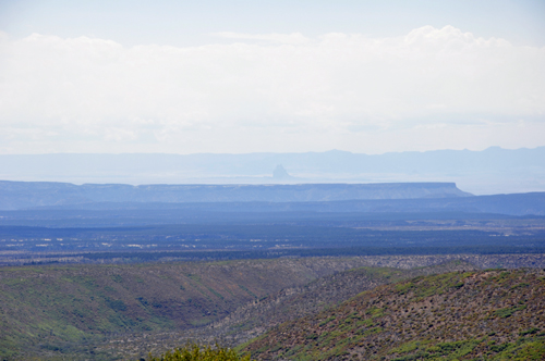
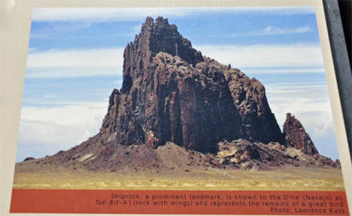
Below: The formation called Shiprock - 46 miles away (elevation: 7,175 feet) The point of Shiprock can barely be seen in the photo because views on this date were reduced by airborne dust, smoke, moisture, and human pollutants. Inversions which trap particles under a layer of dense air can further reduce air quality. |
|
 |
|
Shiprock, a prominent landmark, is known to the Dine' (Navajo) as Tse'-Bit-A'i (rock with wings) and represents the remains of a great bird. The two RV Gypsies also photographed Shiprock when they visited Four Corners, USA. Those pictures can be seen by returning to the Colorado main menu. |
|
 |
 |
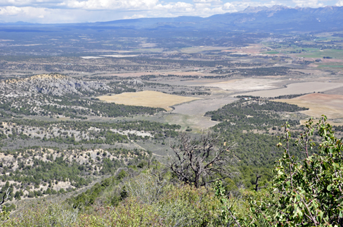
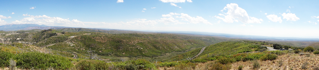
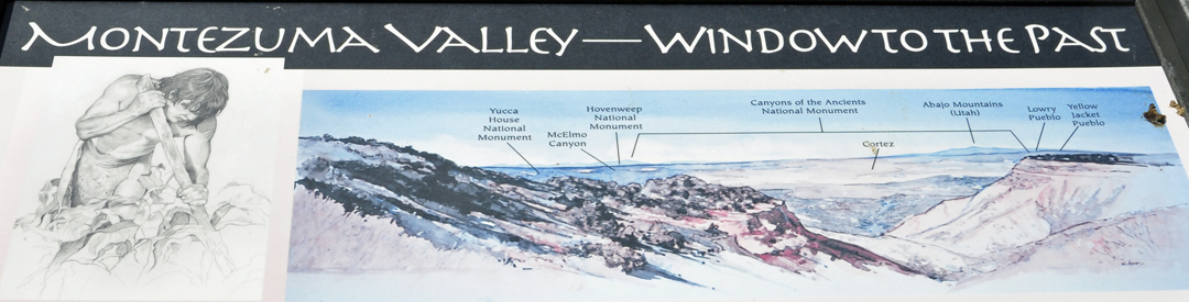
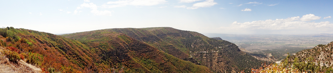
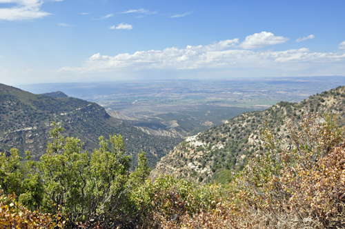
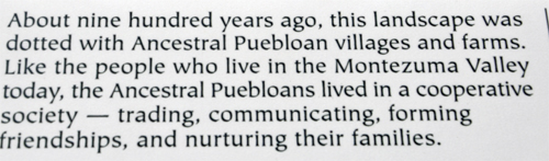
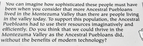
Below: Montezuma Valley Overlook at Mesa Verde National Park - It is likely that more people lived in the Montezuma Valley in the 12th century than live in the valley now. |
|
 |
|
 |
|
 |
|
  |
 |
 |
|
 As mentioned in the row above, check out the Pueblo Village, Pithouse, Badger House, Kodak House and learn about the first Ancestral Puebloans at Mesa Verde as presented at the